Shenandoah National ParkAugusta County
Fretwell and Wright tract, Tract 71, Augusta County
Did you know?Eminent Domain Used for Land
The 1920s survey
3 acres, valued at $75. The state paid $45.
Map of the tract
Landmarks on this map (1)
Gaps
- Jarman Gap · Wikidata
House sites and family graves are never marked. Pins show only public places, from USGS place names and other public sources.
Landmarks in this tract: Jarman Gap · Wikidata
On Wikipedia
Jarman Gap: mountain pass in Virginia, USA
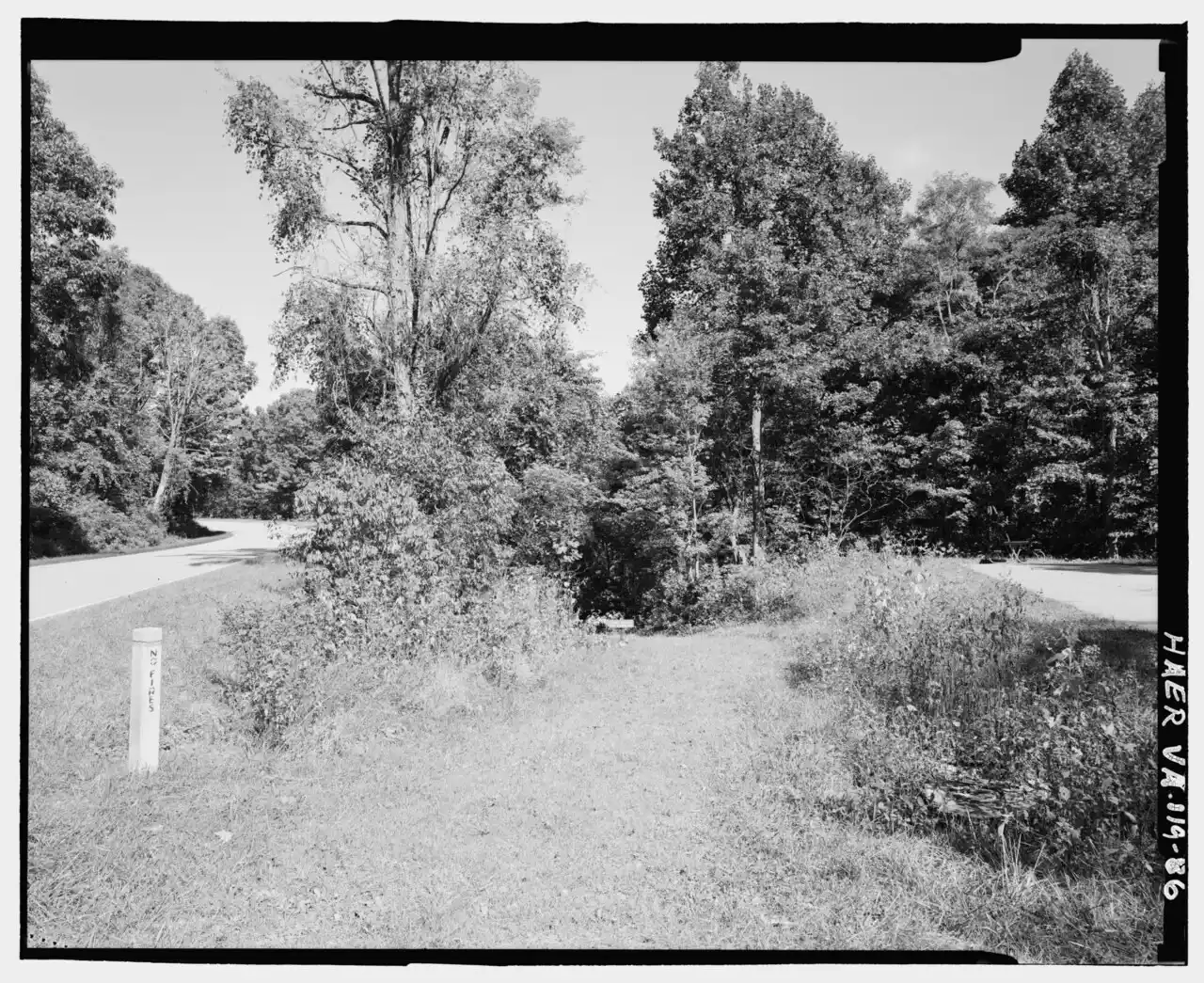
Originally a buffalo trail and Native American path, this Blue Ridge crossing was used by Michael Woods in 1734, and his family settled on its eastern slope; it became known as Woods' Gap. It was renamed Jarman Gap around 1800 after Thomas Jarman bought the property. The colonial Three Notch'd Road crossed here, and Confederate General Thomas 'Stonewall' Jackson moved troops through the gap in 1862.
Published Summarized from the Wikipedia article Jarman Gap, opens in a new tab (revised 3 July 2026), CC BY-SA, opens in a new tab
Case files
Scanned deeds, surveys and claims, kept by the National Park Service (PDF).
- Fretwell and Wright_Augusta71.pdf (0.6 MB, PDF, opens in a new tab)
Source: National Park Service, Shenandoah National Park, Historic Land Tracts.