Shenandoah National ParkMadison County
Fray and Miller tract, Tract 131, Madison County
Did you know?Timber estimate on White Oak Run
The 1920s survey
A 6-room frame house, 14 by 29 feet, with a paper roof; a barn, 12 by 22 feet; timber (chestnut oak, red oak, white oak, poplar, hemlock). 1,960 acres, valued at $4,788. The state paid $8,638.
Map of the tract
Landmarks on this map (3)
Summits
- Bettys Rock · USGS place names
Gaps
- Hawksbill Gap · USGS place names
Streams
- Tims River · Wikidata
House sites and family graves are never marked. Pins show only public places, from USGS place names and other public sources.
Landmarks in this tract: Bettys Rock · USGS place names, Hawksbill Gap · USGS place names, Tims River · Wikidata
On Wikipedia
Tims River: river in Madison County, Virginia, United States
Known as Tim's River as early as 1753, this creek was officially given a name containing a racial slur in 1933, most likely because African-American families lived in lower White Oak Canyon during the Jim Crow era. In 1962 an order from the Secretary of the Interior changed it to Negro Run, as it did for similar names nationwide. After a 2015 request to rename it, the local African-American community and the Madison County Historical Society agreed on Tims River, which was approved in 2017.
Published Summarized from the Wikipedia article Tims River, opens in a new tab (revised 4 July 2026), CC BY-SA, opens in a new tab
Case files
Scanned deeds, surveys and claims, kept by the National Park Service (PDF).
- 4001-009-01-10580-Print-002-enhanced-web.jpg (2.7 MB, PDF, opens in a new tab)
- 4001-009-05-11907-Neg663-101-002-enhanced-copy-web.jpg (4.4 MB, PDF, opens in a new tab)
- SHEN21206-IB004-F06_05-18-1933 003 enhanced.jpg (5.1 MB, PDF, opens in a new tab)
- SHEN21428.pdf (2.4 MB, PDF, opens in a new tab)
County court land file
Papers from the Madison County circuit court’s proceedings to take the land for the park, scanned by JMU Libraries.
Fray and Miller
The file at JMU Libraries, opens in a new tab PDF, opens in a new tab
In the file: Claimant Worksheet, Tract Assessment, Owner Claim, LOB9 (pages 92, 203, 204, 182, 205)
Courtesy of the Madison County Circuit Court Clerk and JMU Libraries, Histories along the Blue Ridge. Licensed CC BY-NC 4.0, opens in a new tab.
From the case file
Schuyler Dodson has not acquired a title to the said tract of land, or any part thereof by adverse possession, and that the said tract of land and the timber thereon belong to the record owners thereof, viz; to the estates of Cora A. Green, J. L. Fray and W. H. Fray, and that the buildings partially erected thereon and the proceeds arising from the condemnation thereof belong to the said Schuyler Dodson
But, it further appearing to the court, that the buildings were not erected solely at the cost of the said Schuyler Dodson, but for his expenditures in that regard, however, the court is of opinion he should be allowed the sum of $75.00
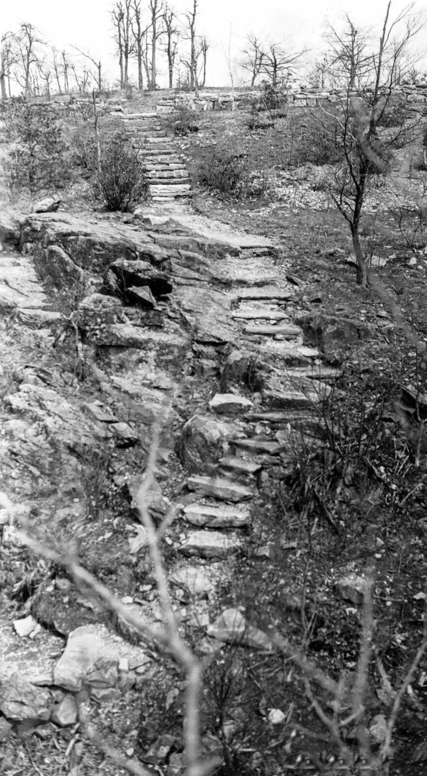
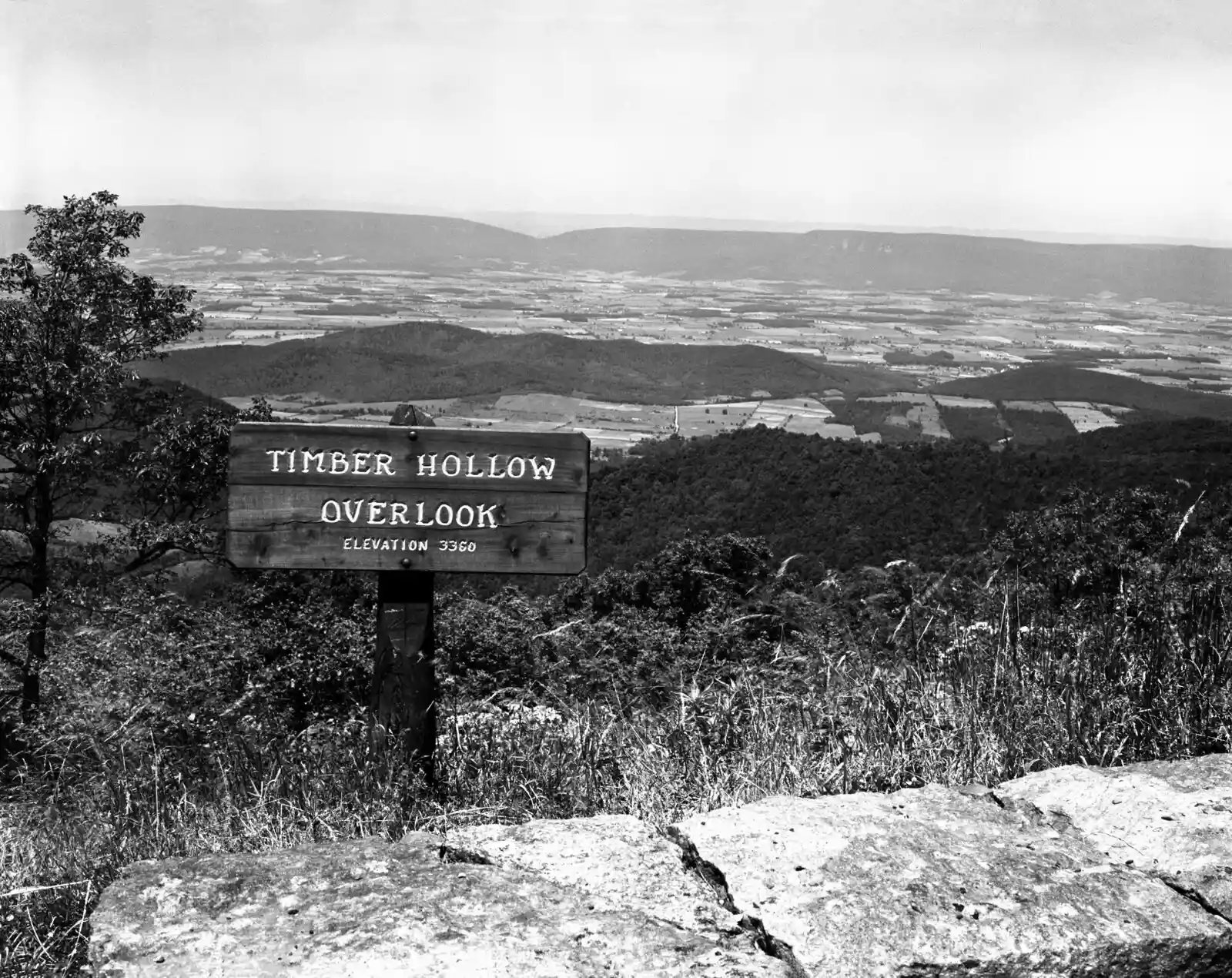
Source: National Park Service, Shenandoah National Park, Historic Land Tracts.