Shenandoah National ParkMadison County
Lariloba Mining and Development Co. tract, Tract 135, Madison County
Did you know?Wiley H. Cave's log dwelling
The 1920s survey
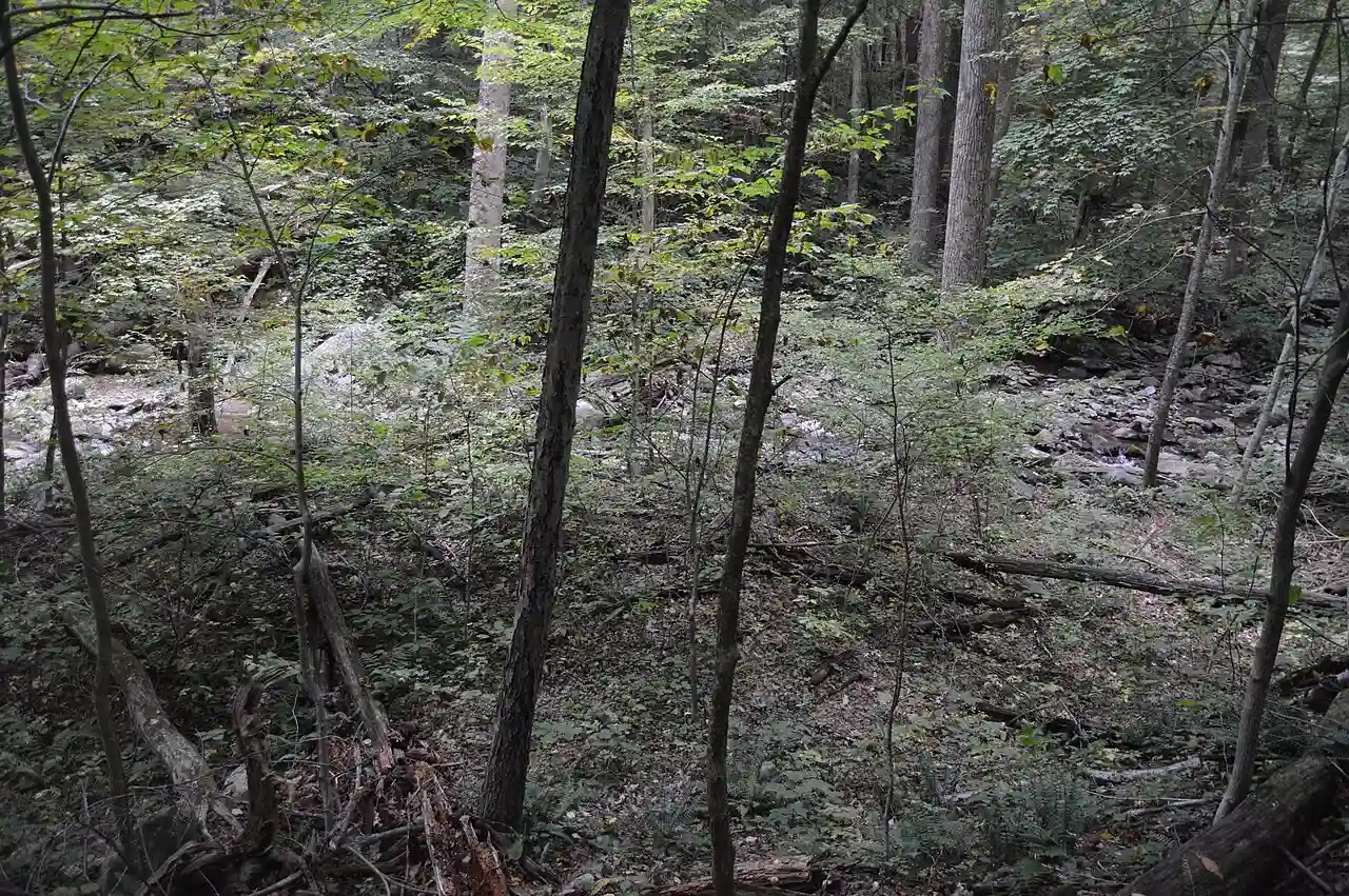
Timber (poplar, chestnut oak, hickory). 1,400 acres. The state paid $2,285.
Map of the tract
Landmarks on this map (4)
Places
- Franklin Cliffs Overlook · USGS place names
Streams
- Hogcamp Branch · USGS place names
Falls
- Rose River Falls · USGS place names
Churches
- Dark Hollow Church (historical) · USGS place names
House sites and family graves are never marked. Pins show only public places, from USGS place names and other public sources.
Landmarks in this tract: Dark Hollow Church (historical) · USGS place names, Franklin Cliffs Overlook · USGS place names, Hogcamp Branch · USGS place names, Rose River Falls · USGS place names
On Wikipedia
Gentle Site: archaeological site in Virginia, United States
Occupied during the Early Archaic and Woodland periods, this site served as a seasonal base camp for hunting and gathering, likely by valley villagers visiting in the summer and autumn. It was formally recognized for its archaeological significance when listed on the National Register of Historic Places in 1985.
Published Summarized from the Wikipedia article Gentle Site, opens in a new tab (revised 5 September 2026), CC BY-SA, opens in a new tab
Case files
The National Park Service has no case file online for this tract.
County court land file
Papers from the Madison County circuit court’s proceedings to take the land for the park, scanned by JMU Libraries.
Lariloba Mining and Development
The file at JMU Libraries, opens in a new tab PDF, opens in a new tab
In the file: Claimant Worksheet, Tract Assessment, Owner Claim, LOB9 (pages 293, 294, 295, 297)
Courtesy of the Madison County Circuit Court Clerk and JMU Libraries, Histories along the Blue Ridge. Licensed CC BY-NC 4.0, opens in a new tab.
Source: National Park Service, Shenandoah National Park, Historic Land Tracts.