Shenandoah National ParkMadison County
Isaac N. Long farm (part a), Tract 141, Madison County
Did you know?Hollow Folk, a 1933 study of three hollows
The 1920s survey
No merchantable timber. 166 acres, valued at $2,802. The state paid $5,102.
Map of the tract
Landmarks on this map (2)
Places
- Big Meadows · Wikidata
Gaps
- Fishers Gap · Wikidata
House sites and family graves are never marked. Pins show only public places, from USGS place names and other public sources.
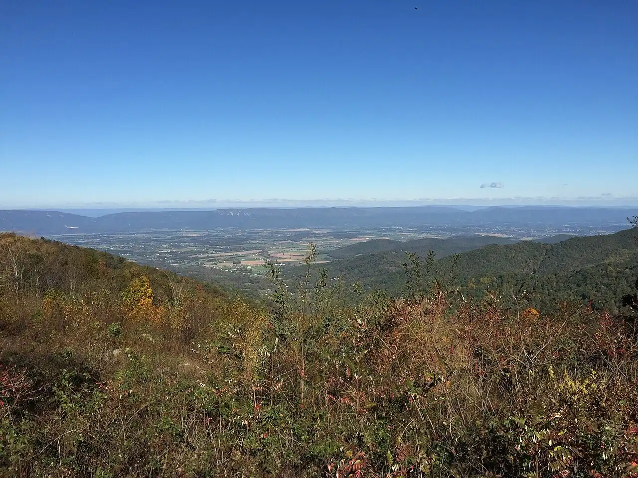
Landmarks in this tract: Big Meadows · Wikidata, Fishers Gap · Wikidata
On Wikipedia
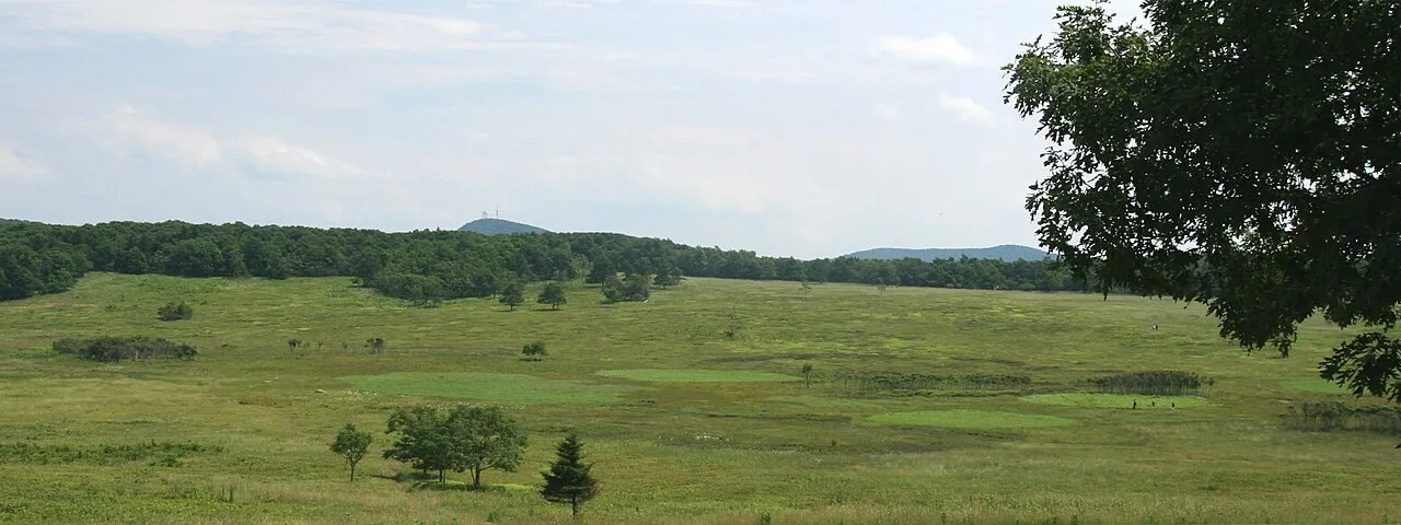
Big Meadows: recreational area of the Shenandoah National Park in Madison County and Page County, in the US state of Virginia
President Franklin Roosevelt dedicated Shenandoah National Park and Skyline Drive at Big Meadows in 1935. The area has long been a recreation center for the park, with a visitor center, lodge and campground, and trails lead from it to places such as Rapidan Camp, President Herbert Hoover's fishing retreat.
Published Summarized from the Wikipedia article Big Meadows, opens in a new tab (revised 1 September 2026), CC BY-SA, opens in a new tab
Fishers Gap: mountain pass in Virginia, United States
Fishers Gap is named for Stephen Fisher, who received a land grant here in 1778. The pass was earlier called Milam's Pass, probably after Thomas Milam, an early settler who likely first found the route. The gap appears on maps only after the Gordonsville New Market Turnpike was finished in 1853; both armies used the road in the Civil War, and the turnpike company fell apart afterward. The land later became part of Shenandoah National Park, and Skyline Drive and the Appalachian Trail now cross the gap.
Published Summarized from the Wikipedia article Fishers Gap, opens in a new tab (revised 3 July 2026), CC BY-SA, opens in a new tab
Case files
The National Park Service has no case file online for this tract.
County court land files
Papers from the Madison County circuit court’s proceedings to take the land for the park, scanned by JMU Libraries.
Deposition
Tract 141. Deposition by Isaac N. Long, Sr
The file at JMU Libraries, opens in a new tab PDF, opens in a new tab
Courtesy of the Madison County Circuit Court Clerk and JMU Libraries, Histories along the Blue Ridge. Licensed CC BY-NC 4.0, opens in a new tab.
Long, Isaac N Sr
The file at JMU Libraries, opens in a new tab PDF, opens in a new tab
In the file: Claimant Worksheet, Tract Assessment, Owner Claim, LOB9, Misc.
Courtesy of the Madison County Circuit Court Clerk and JMU Libraries, Histories along the Blue Ridge. Licensed CC BY-NC 4.0, opens in a new tab.
From the case file
I paid 50¢ per head per month to Mr. Cave for looking after them.
I wouldn't sell it at all if I didn't have to. I was raised on the blue grass and I have been going on the Blue Ridge since I was big enough to ride behind my father on a horse.
Families of the park
Other tracts whose owners shared the name. A shared name doesn’t always mean a shared family.
- A.W. Long farm, Tract 36, Madison County
- Lee Long farm, Tract 145, Madison County
- Arthur W. Long farm, Tract 460, Page County
- B.T. Long farm, Tract 157, Albemarle County
- Charles Long farm, Tract 201, Rockingham County
- Isaac N. Long farm, Tract 346, Page County
- Isaac N. Long, Sr. farm, Tract 346a, Page County
- J. E. Long farm (part a), Tract 129a, Greene County
Source: National Park Service, Shenandoah National Park, Historic Land Tracts.