Shenandoah National ParkRappahannock County
Taylor, Cheatham, and Priest Williams farm (part a), Tract 151a, Rappahannock County
Did you know?Summer resort valuation dispute
The 1920s survey
A log house. 128 acres, valued at $244. The state paid $319.
Map of the tract
Landmarks on this map (1)
Places
- Tunnel Parking Overlook · USGS place names
House sites and family graves are never marked. Pins show only public places, from USGS place names and other public sources.
Landmarks in this tract: Tunnel Parking Overlook · USGS place names
On Wikipedia
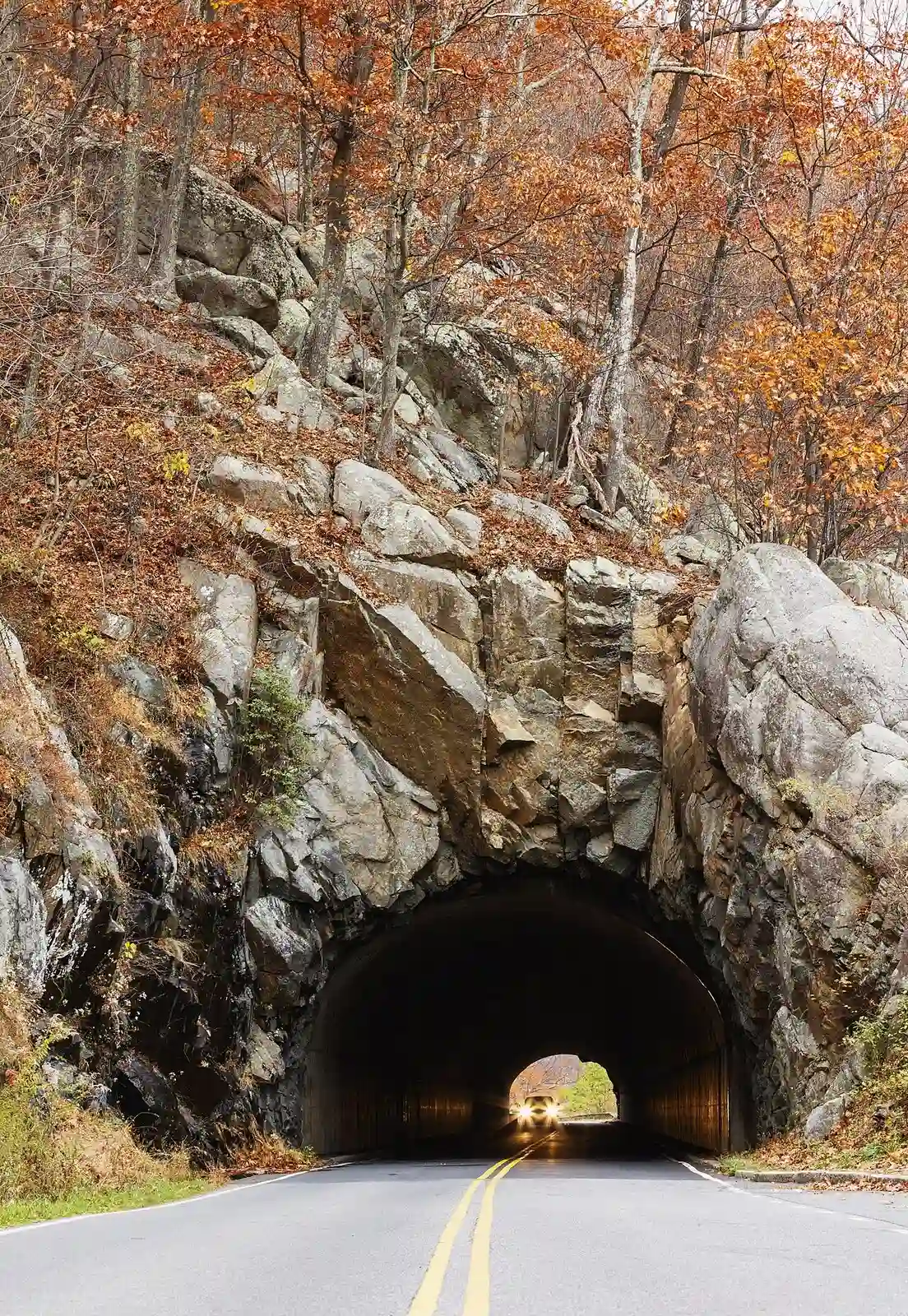
Marys Rock Tunnel: tunnel in Virginia, United States
Built in 1932 by Civilian Conservation Corps laborers, this tunnel cuts through the east slopes of Mary's Rock along Shenandoah National Park's Skyline Drive. It stands as the park's sole vehicular tunnel, measuring 670 feet in length with a height restriction that limits passage for taller vehicles.
Published Summarized from the Wikipedia article Marys Rock Tunnel, opens in a new tab (revised 23 July 2026), CC BY-SA, opens in a new tab
Case files
Scanned deeds, surveys and claims, kept by the National Park Service (PDF).
- Williams_Taylor_Cheatham_Rapp151A.pdf (4.5 MB, PDF, opens in a new tab)
County court land files
Papers from the Rappahannock County circuit court’s proceedings to take the land for the park, scanned by JMU Libraries.
Panorama
The file at JMU Libraries, opens in a new tab PDF, opens in a new tab
Courtesy of the Rappahannock County Circuit Court Clerk and JMU Libraries, Histories along the Blue Ridge. Licensed CC BY-NC 4.0, opens in a new tab.
Willams Taylor Cheatham and Priest
The file at JMU Libraries, opens in a new tab PDF, opens in a new tab
Courtesy of the Rappahannock County Circuit Court Clerk and JMU Libraries, Histories along the Blue Ridge. Licensed CC BY-NC 4.0, opens in a new tab.
From the case file
When claimants acquired the above tracts of land, there were no improvements thereon, the lands were cut over badly burned mountain lands with a dense growth of underbrush and much loose rock thereon.
Families of the park
Other tracts whose owners shared the name. A shared name doesn’t always mean a shared family.
- Taylor, Cheatham, and Priest Williams farm, Tract 151, Rappahannock County
- Alvin P. Taylor farm, Tract 32, Greene County
- Annie Taylor farm, Tract 364, Page County
- C.T. Taylor farm, Tract 369, Page County
- Charles J. Taylor farm, Tract 49, Greene County
- Claude Taylor farm, Tract 94, Greene County
- Columbia Taylor farm, Tract 46, Greene County
- Edna Taylor farm, Tract 364, Madison County
Source: National Park Service, Shenandoah National Park, Historic Land Tracts.