Shenandoah National ParkRappahannock County
C.J. Miller farm, Tract 199, Rappahannock County
Et al.
Did you know?3,087 tracts surveyed for the park
The 1920s survey
A log house, 16 by 16 feet, with a shingle roof; a barn, 16 by 16 feet; timber (chestnut, locust). 905 acres, valued at $1,961. The state paid $3,094.
Map of the tract
Landmarks on this map (2)
Places
- Byrds Nest Number 3 · USGS place names
- Pinnacle Overlook · USGS place names
House sites and family graves are never marked. Pins show only public places, from USGS place names and other public sources.
Landmarks in this tract: Byrds Nest Number 3 · USGS place names, Pinnacle Overlook · USGS place names
Case files
Scanned deeds, surveys and claims, kept by the National Park Service (PDF).
- 4001-009-01-10742-Print-001-enhanced-web.jpg (0.8 MB, PDF, opens in a new tab)
- Meadow Spring Shelter.pdf (0.5 MB, PDF, opens in a new tab)
- Miller-Nicholson Lap_Rapp199_I.pdf (1.9 MB, PDF, opens in a new tab)
- Miller-Nicholson Lap_Rapp199_II.pdf (0.8 MB, PDF, opens in a new tab)
- Miller-Taylor_Rapp199.pdf (2.0 MB, PDF, opens in a new tab)
- MillerC.J._Rapp199.pdf (2.7 MB, PDF, opens in a new tab)
- SpitlerandMillerLap_Rapp199_III.pdf (0.8 MB, PDF, opens in a new tab)
County court land file
Papers from the Rappahannock County circuit court’s proceedings to take the land for the park, scanned by JMU Libraries.
Miller, CJ
The file at JMU Libraries, opens in a new tab PDF, opens in a new tab
Courtesy of the Rappahannock County Circuit Court Clerk and JMU Libraries, Histories along the Blue Ridge. Licensed CC BY-NC 4.0, opens in a new tab.
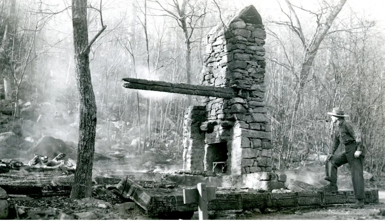
From the case file
Families of the park
Other tracts whose owners shared the name. A shared name doesn’t always mean a shared family.
- B.F. Miller farm, Tract 49, Rappahannock County
- C.B. Miller farm, Tract 48, Rappahannock County
- E.T. and G.T. Miller farm, Tract 24, Rappahannock County
- Ellis Miller farm, Tract 124, Rappahannock County
- H.R. Miller farm, Tract 77, Rappahannock County
- J.J. Miller farm, Tract 54, Rappahannock County
- J.J. Miller farm, Tract 56, Rappahannock County
- Warner and Charles Miller farm, Tract 40, Rappahannock County
Source: National Park Service, Shenandoah National Park, Historic Land Tracts.