Shenandoah National ParkRappahannock County
Subdivision tract, unnumbered tract, Rappahannock County
Did you know?Chestnut Wood Usage
The 1920s survey
The survey recorded only the owner's name.
Map of the tract
Landmarks on this map (2)
Places
- Beahm, Virginia · Wikidata
Gaps
- Thornton Gap · Wikidata
House sites and family graves are never marked. Pins show only public places, from USGS place names and other public sources.
Landmarks in this tract: Beahm, Virginia · Wikidata, Thornton Gap · Wikidata
On Wikipedia
Thornton Gap: wind gap in Virginia, United States
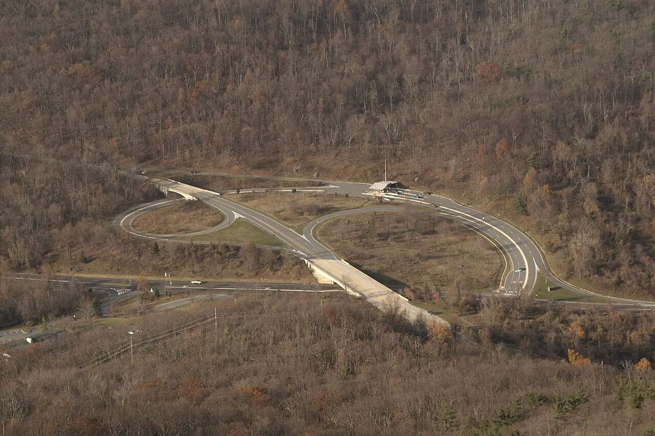
Named after landowner Francis Thornton, this mountain pass served as a vital route for early settlers and later for Confederate troops during the Civil War. Before the construction of Shenandoah National Park and Skyline Drive in the 1930s, the town of Beahm stood at this location.
Published Summarized from the Wikipedia article Thornton Gap, opens in a new tab (revised 6 October 2026), CC BY-SA, opens in a new tab
Beahm, Virginia: former unincorporated community in Virginia, US
Beahm was an unincorporated community in Page County named for the Beahm family, prominent local farmers and landowners. It had homesteads, farms, cemeteries, a mill and an outpost, and was served by the Washington, Cincinnati, and Saint Louis Railroad. It became part of Shenandoah National Park during the Great Depression, and part of the area is now known as Beahm's Gap Overlook.
Published Summarized from the Wikipedia article Beahm, Virginia, opens in a new tab (revised 15 August 2025), CC BY-SA, opens in a new tab
Case files
The National Park Service has no case file online for this tract.
Nearby markers
Source: National Park Service, Shenandoah National Park, Historic Land Tracts.